The Best Hikes in Cyprus: Mountains, Gorges, Waterfalls and Coast
Nobody comes to Cyprus for the hiking. They come for the sea — and then somebody mentions there is a mountain with snow on it, a gorge narrow enough to touch both walls at once, and a forest full of trees that grow nowhere else on Earth. Suddenly the beach can wait.
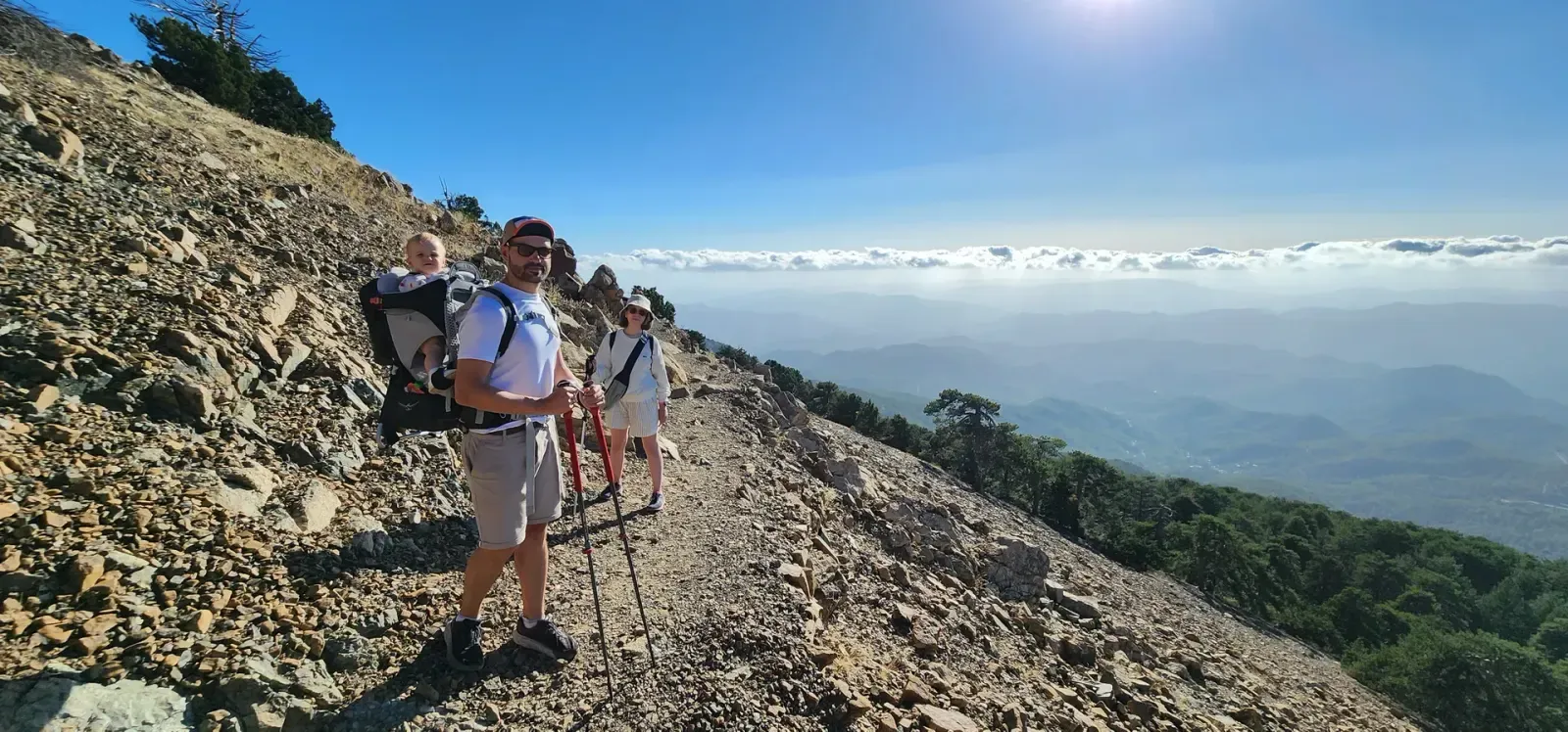
That photo is the Artemis trail, in a country most people file under "beach holiday". The man is carrying a toddler. They are above the clouds.
This is a guide to the walking that is actually worth your time here: seven trails to plan a trip around, a quick tour of the ten areas they sit in, and three things that catch almost everyone out.
The best fact about hiking in Cyprus
The trails are short.
That sounds like a complaint. It is the opposite — it is the whole reason walking here is such good value. The median Cyprus trail is 3.9 km with 136 metres of climb. Ninety minutes, boots on to boots off. Two thirds of the island's trails are under five kilometres, and only fourteen of them are longer than ten.
So you are never spending a whole day on one thing. Walk a gorge in the morning, eat in a mountain village at noon, stand at the bottom of a waterfall by four, and still make dinner on the coast. Try that anywhere with real mountains.
Seven walks worth planning a trip around
The gorge. Avakas is the one people photograph and then struggle to describe. The Avgas river has cut a slot into white limestone until the walls lean in overhead and the temperature drops as you walk in. The short version goes 1.1 km and turns around; the long one keeps going for 4.1.
Great short hike! Not too difficult, but the scenery becomes completely different when you reach the gorge at the end, which makes it really worth the walk. Along the way, we saw a herd of goats, a frog, and some beautiful, unique pink flowers. Just be aware that the last part of the drive to the starting point is on a gravel road.
The waterfall. Millomeris is the tallest single-drop fall on the island — 15 metres onto rock — and it costs you one kilometre downhill from Pano Platres. The only tax is the walk back up. If you want the rest of them, we wrote a whole guide to Cyprus's waterfalls.
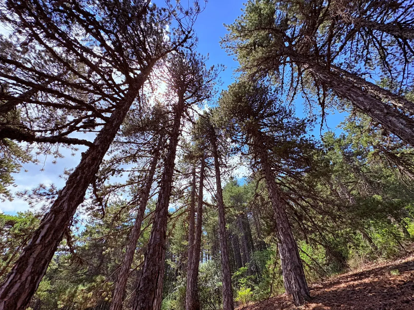
The mountain. Artemis rings Mount Olympus — at 1,952 m the highest ground in Cyprus — in 7.3 km with barely 70 metres of climb. Five-hundred-year-old black pines, Venetian ruins, and a view in every direction for less effort than the altitude has any right to ask. Two hikers, on the same trail page:
Great, easy trail for beginners. Stunning views, almost completely flat.
The highest one, good all year round. One of the few with snow in winter months. Has one of the best sunsets and quite often is above the clouds.
The big day. Madari Circular: 12.1 km, 622 metres of climb, four kilometres of it along an open ridge, finishing at a working fire lookout at 1,613 m — the only one on the island you can walk up to. Four to five hours, and the best full day in Cyprus that doesn't need a support vehicle.
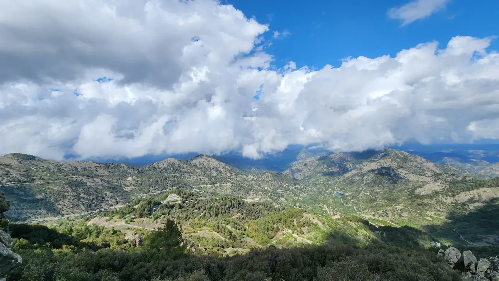
The one that exists nowhere else. Cedar Valley runs 5.4 km through groves of Cedrus brevifolia, the Cyprus cedar — a species that grows on this island and nowhere else on the planet, reaching 40 metres here. Easy going, deep in Paphos Forest, and genuinely unlike anywhere.
The coast. Pissouri Blue Route runs 7.4 km along the cliffs to Cape Aspro. It is one of five colour-coded routes around the same village, so you can pick your distance from 3.8 km up to 15.8.
Breathtaking views. There is a steep uphill section but it is contained.
The one for a first walk. Persephone is 3 km along a ridge from Troodos square to the Makria Kontarka viewpoint, with almost no climb and a proper view at the end. Easy enough for children, and the fastest way to understand why people keep coming back up here.
Avakas Gorge (short)
AkamasMillomeris Waterfall
TroodosArtemis
TroodosMadari Circular Trail
MadariWhere the island keeps its trails
Ten areas, and they genuinely differ. Each links to its full list.
- Troodos — the roof of the island. Black pine, cold streams, the waterfalls, and the one corner that still works in August.
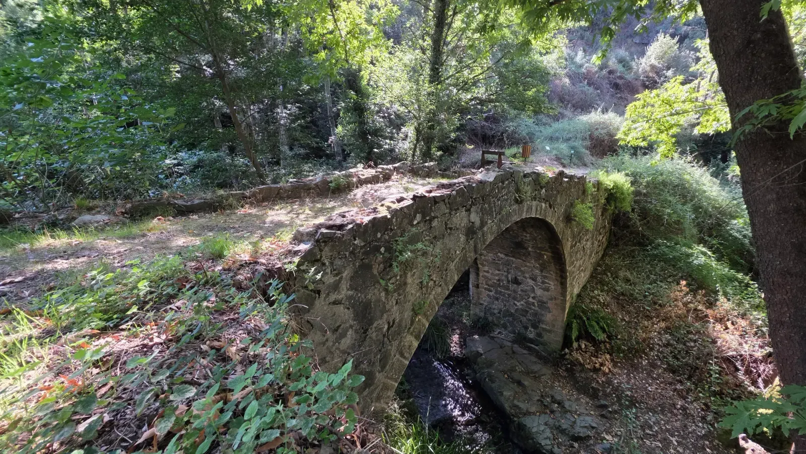
- Paphos Forest — the emptiest place in Cyprus, pine forest from sea level past 1,200 m. Cedars, Venetian bridges, mouflon, and trails you will walk alone.
- Nicosia — the widest spread of anywhere: eight trails inside a city park, then painted churches, fossil gorges and the Kalopanayiotis village network up in the mountains.
- Limassol — salt flats and flamingos at one end, the Pitsilia peaks at the other, wine villages in between.
- Macheiras — the closest real forest to the capital: a monastery, a river gorge and a handful of stone villages, mostly linked end to end.
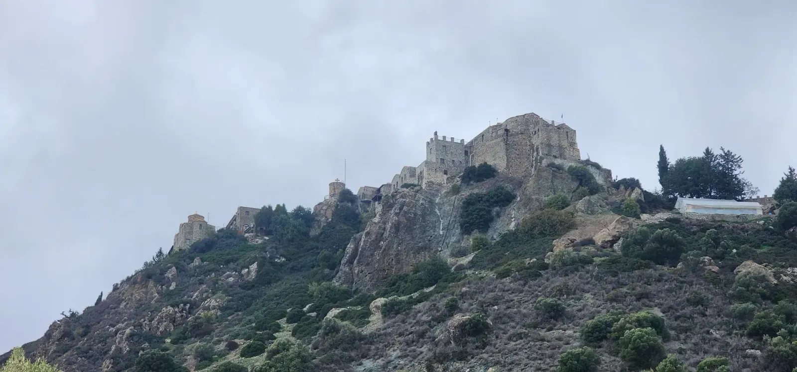
- Larnaca — short walks to big things. A 7,000-year-old Neolithic settlement, a fourth-century monastery on a rock.
- Akamas — the wild western tip. Headlands, junipers, abandoned mines, and Avakas. Superb November to April.
- Madari — one ridge, one fire lookout, eleven ways onto it.
- Cape Greko — sea caves, white limestone, clifftop chapels and water that really is that colour.
- Paphos — the widest range on the island, from Aphrodite's Rock in full sun to the shadiest river valley in Cyprus.
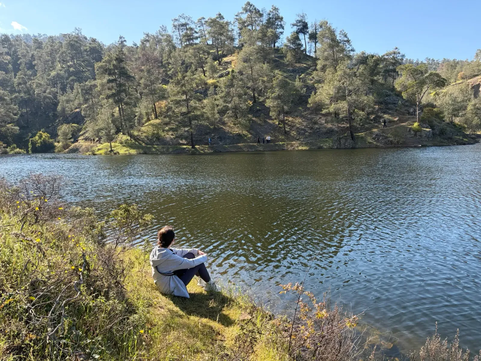
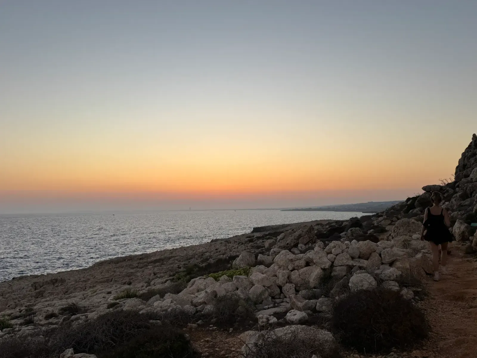
When to go
Cyprus runs an inverted hiking calendar. The coast is a winter and spring destination — November to April, when it is mild and empty and the hillsides flower. The mountains carry the summer, but only in the morning. Spring is the best of both: the waterfalls run hardest March to May, and the whole island is green for a few weeks before it very much isn't.
If you are here in July or August and want to know precisely which trails stay cool, we modelled the sun over every metre of the island's trails and wrote up what we found.
Three things that catch people out
Half the trails are not loops. 109 of 188 are linear — you walk out and back, or arrange a lift. Check the trail page before you park, because the far end is a long way to learn it.
Water is the real constraint, not distance. There are 61 forest picnic sites across the island and only 37 have drinking water. Some of the best areas have almost none: Madari has no picnic site at all, and Stavros tis Psokas — the obvious base for all of Paphos Forest — has no tap. Fill up in the last village and carry more than the kilometres suggest.
Some valleys make their own weather. Shade is not the only thing that decides how hot a walk feels. On Stavros tis Minthis, one hiker left the warning we would not have thought to write:
Nice hike BUT….be warned, this hike is in a closed valley that gets very hot in the summer. It can be several degrees warmer than the surrounding area, with little or no breeze. Very easy to overheat! Take plenty of water.
That is the kind of thing you only learn from someone who went. Hikers have left 154 reviews on this site so far — 129 of them "great", 20 "OK", and five that amount to don't bother. We publish all of them, including the five.
Start somewhere
The full list of trails filters by distance, area, difficulty and shade. The map shows all of them at once, which is the fastest way to see what's near you. Every trail page carries its route, elevation profile, drive time from where you are, and a GPX download.
And if you would rather just be told what's close: Near Me sorts the whole island by how far you'd have to drive.